UAV Tech’s mobility series Unmanned Aerial Systems are built to conduct rapid Emergency Healthcare, B2B logistics services cutting down on the time required for the product in the mid-mile delivery.
On-demand deliveries of emergency goods will also be delivered to the last mile in rural locations based on the ground clearences and permissions.
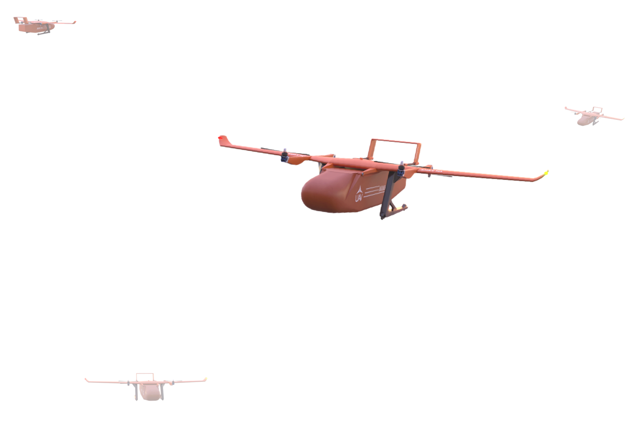
UAV Tech facilitates inter-warehouse aerial goods delivery of approved categories using technologically advanced AUAV Mobility Series that use minimum space to take-off, land, pickup and deliver.
These operations are serviceable in strategic distribution centers across various Districts, States and Nations in least amount of time with lower costs and hassle. As the operations are completely electric, the direct carbon emissions are almost negligible.
Emergency, health care and relief aid will be facilitated on a priority basis Regular and On-Demand Services will be slotted based on intelligently planned/ scheduled regular operational routes. The rescheduling due to weather and airspace restrictions are managed on cloud with the help of an Intelligent Ground Control Solution.
This aim of this service is to supplement the existing fleet of automobiles but in a cleaner, quicker and efficient way and hence easing the bottlenecks in the supply chain of medicine, essential and fast-moving consumer goods.
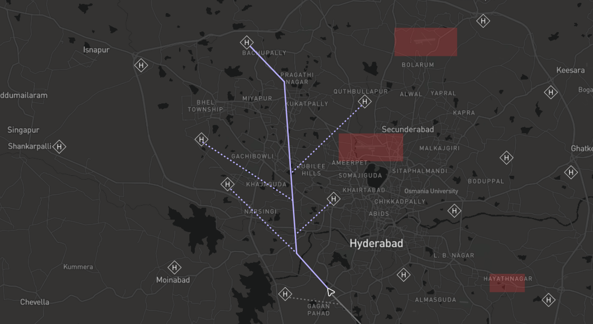
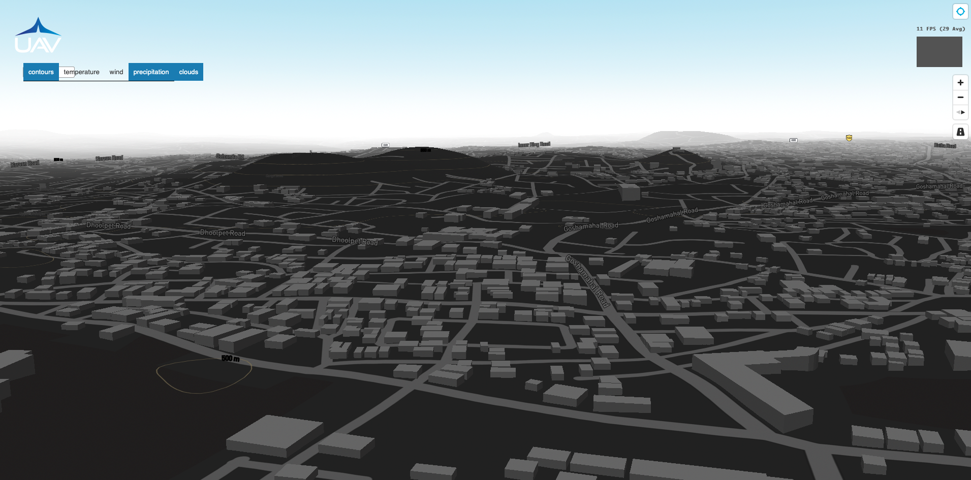
UAV Tech’s Landing Network is strategically created with loading and unloading zones covering every nook and corner of various sectors.
These landing zones are surveyed by 3D point-based mapping for safe and easy landing and take-off manoeuvres with complete surrounding awareness.
These facilities aid in Charging, Swapping, Maintenance and emergency landing solutions for medium and large UASs
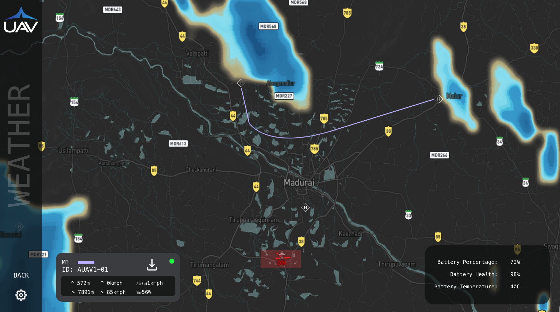
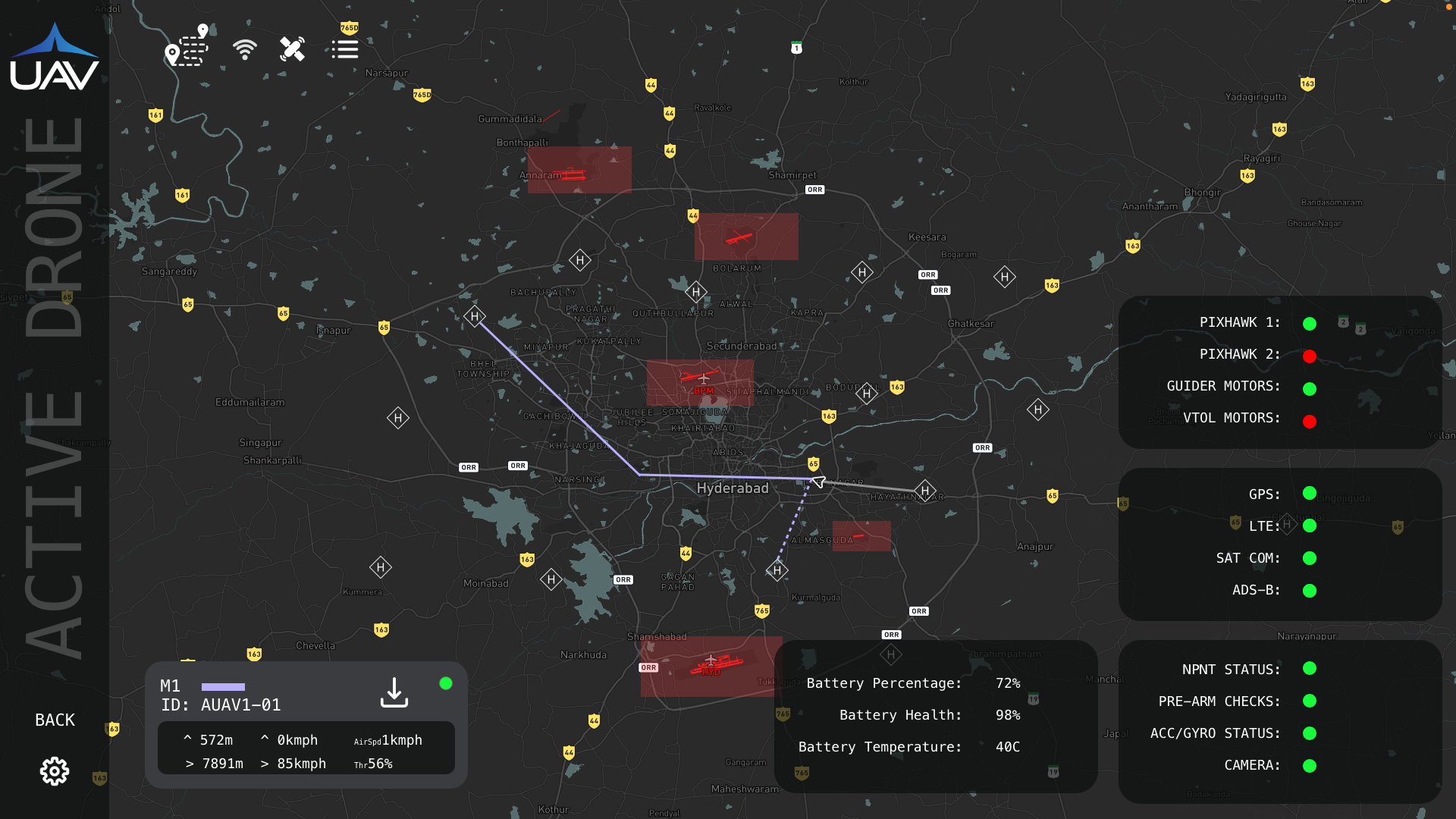
UAV Tech’s Ground Control Software is compatible and works with ‘UAV Mobility series' UAVs and Flight Controllers.
This is a one stop solution for planning the mission intelligently based on weather, traffic, winds and connectivity without breaching the geofence and obtaining permissions to fly from the concerned authorities, fleet management, location and communication signal strengths, landing zones, emergency landings, live telemetry, surrounding video stream, avionics, electronics & health monitoring, post-flight logs submission and reporting breaches and accidentsIt takes care of the entire end to end operations in a safe and compliant way .
This Solution constantly is in relay with the governing UAS digital cloud infrastructure and other stake holders in the ecosystem to provide a seamless and a risk-free operation.
UAV Tech’s mapping solution follows a unique pattern where the most accurate source is compared and revalidated with the live data and readings in turn creating precise Digitally Elevated Models.
These maps could be used by various clients within the Unmanned Aviation Ecosystem and by other government or private organizations to maintain utmost safety by having a complete awareness in BVLOS missions during surveying, terrain following, intelligent routing and other UAS operations.

UAV TECH
All images used are computer generated, licensed and not mimicing anyone in real life for legal issues.
Read about our PRIVACY POLICY here.
2021 UAV TECH PVT. LTD

